modal.redirection.sfcc.text
modal.redirection.sfcc.text.probikeshop.com


Search engine unavailable
Suggested category/categories :
> See all categories
Suggested brand(s) :
> See all categories
Suggested product(s) :
> See all products
-
Road
-
MTB
- E-Bike
-
BMX
- City
-
Accessories
-
Riders Gear
-
Ladies
- Kids
-
Streetwear
- Triathlon
-
Brands
1
- 100%
A
- A2z
- Absoluteblack
- Abus
- Acros
- Add one
- Addbike
- Adidas
- Adidas terrex
- Agu
- Aivee
- Ale
- All mountain style
- All-city bikes
- Alligator
- Alpina
- Alpinestars
- Altra
- Altura
- Amphora
- Animal bikes
- Animoz
- Answer products
- Aqua2go
- Aquaman
- Arena
- Ashima
- Asics
- Aso
- Ass savers
- Assos
- Asterion
- Avian bmx
- Avid
- Axa
- Azr
- Challenge
- Chase bicycles
- Chris king
- Chromag
- Chrome
- Ciari
- Ciclosport
- Cinelli
- Clarks standard
- Clif bar
- Cobra bikes
- Colting
- Commencal
- Compex
- Compressport
- Continental
- Craft
- Crane bell co.
- Crankbrothers
- Creme
- Croozer
- Crosscall
- Cube
- Cube acid
- Cube rfr
- Cult
- Cushcore
- Cybex
- Cyclingceramic
- Cyclus tools
D
- Dainese
- Dakine
- Dare 2b
- Dare2tri
- Dartmoor
- Deboer
- Deda
- Deda elementi wheels
- Deuter
- Dexshell
- Dhb
- Diamant
- Dm3
- Dmr
- Dt swiss
- Dugast
- Dvo
- Dynaplug
G
- G-form
- Galfer
- Garmin
- Genuine innovations
- Ghost
- Giro
- Gonso
- Gorewear
- Granite design
- Gripgrab
- Gt bicycles
H
- Haibike
- Hamax
- Hammerhead
- Hayes
- Head
- Hebie
- Hed
- Hexlox
- Hiplok
- Hjc
- Hope
- Ht components
- Hutchinson
- Huub
- Hydrapak
- Maxxis
- Mb wear
- Melon optics
- Merrell
- Met
- Mh cover
- Miche
- Michelin
- Microshift
- Milkit
- Miranda
- Mizuno
- Mongoose
- Monkeylink
- Morgaw
- Motion ride
- Moto
- Motorex
- Mottez
- Mrp
- Msc bikes
- Muc-off
N
- Neat flow
- New balance
- Newmen
- Newton running
- No-flats
- North shore billet
- Northwave
- Notubes
- Now8
- Ns bikes
- Nukeproof
- Nutcase
O
- O'neal
- O.symetric
- Oakley
- Odi
- Odlo
- Odyssey
- Oneup components
- Onyx
- Orange
- Orbea
- Ortler
- Ortlieb
- Osprey
- Oury
- Rant
- Red cycling products
- Renthal
- Respro
- Restrap
- Reverse components
- Revoloop
- Reynolds
- Rh+
- Ride concepts
- Ridley
- Ritchey
- Riva
- Rocday
- Rockshox
- Roeckl
- Rondo
- Roto
- Rotor
- Rrp
- Rudy project
S
- S'cool
- Sailfish
- Salming
- Salt
- Saltplus
- Santini sms
- Sapim
- Saris
- Saucony
- Sb3
- Schwalbe
- Scicon
- Scope
- Sdg
- Se bikes
- Se racing
- Sea sucker
- Sella italia
- Selle italia
- Selle royal
- Selle san marco
- Sendhit
- Serious
- Shapeheart
- Shimano
- Sidi
- Sigma
- Silca
- Silva
- Sixpack
- Sixs
- Sixsixone 661
- Skean
- Skf
- Skins
- Sks germany
- Slicy
- Smith
- Smp
- Sock guy
- Spank
- Spanninga
- Specialites ta
- Speedo
- Spirgrips
- Spiuk
- Sportful
- Sportourer
- Squirt lube
- Sr suntour
- Sram
- Stages cycling
- Stranger
- Strobmx
- Stronglight
- Sun ringlÉ
- Sunrace
- Suomy
- Supacaz
- Supernova
- Supertour
- Sweet protection
- Swissstop
- Thickslick
- Thomson
- Thule
- Ti-springs.com
- Tigra sport
- Time
- Tioga
- Title
- Tnt bicycles
- Topeak
- Topo athletic
- Trail gator
- Transition bikes
- Troy lee designs
- Trp
- Truvativ
- Tsg
- Tubolito
- Tubus
- Tucano urbano
- Tufo
- Tune
- Tyr
V
- Vans
- Var
- Vaude
- Velco
- Velotoze
- Velox
- Vermont
- Viper
- Vision
- Vittoria
- Vitus
- Vojo
- Votec
- Vredestein
- Vsf fahrradmanufaktur


< Back
-
|
- Accessories |
- Bike GPS |
- Maps |
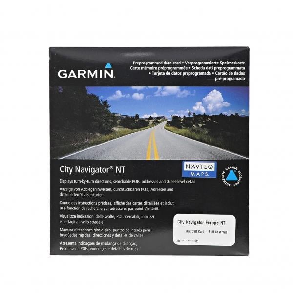
- GARMIN GPS Europe Topographic Map

https://www.probikeshop.com/en/gb/garmin-gps-europe-topo-card/29889.html
€93.90
OUT OF STOCK
This item is a victim of its own success

Right to cancel within 30 days
Description
Includes full country coverage for Western Europe and many countries in Eastern Europe
Displays more than 1.7 million points of interest such as restaurants, lodging, border crossings, attractions, petrol stations, campsites, shopping and more.
Offers over 8.5 million kilometers of road coverage including motorways, national and regional thoroughfares and local roads.
Includes detailed information such as turn restrictions, roundabout guidance, speed categories and other navigation features.
Best features
+ A Garmin Micro SD card.
+ Gives turn-by-turn directions on your compatible device.
+ Contains traffic data for compatible devices that use traffic receivers.
+ Enhances pronunciation data for compatible devices that speak street names (example: "Turn right on Main Street.").
Characteristics
Discipline : Road
Format : MicroSD
IGN : Yes
Region : Europe
Scale : 1:25000
Customers reviews
Q&A
 Close
Close
Please wait